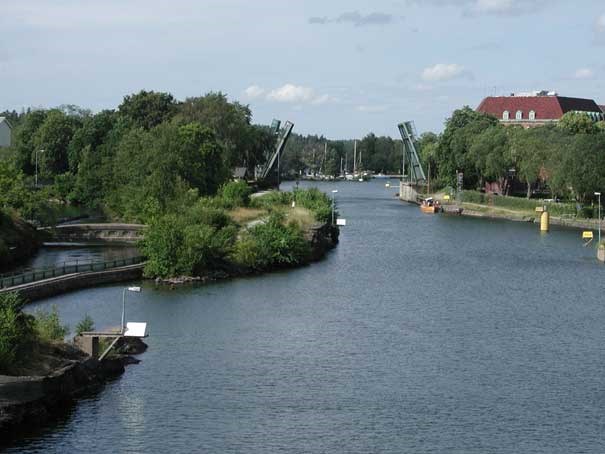
Lakes and Canals
Chart products over lakes and channels have specific reference levels (average water levels) that are different from other charts.

Chart products over lakes and channels have specific reference levels (average water levels) that are different from other charts. Some of these levels already have a defined relationship to RH 2000 and, with the transition to RH 2000 as reference level in all cartographic products, all of these levels will be described in relation to the zero level in RH 2000. In some cases small adjustments may be applicable.
Below is a table of the current chart reference levels; the relationship they have with the zero level in the RH 2000; and the probable choice of future reference level.
| Water area | Present Chart Datum | Relation to RH 2000 | Probable future chart datum (RH2000) |
| Vänern | 3.6 m over lower lock threshold at Sjötorp. | +44.1 m | +44.4 m |
| Vättern | 3.07 m over Motala upper lock threshold. | +88.88 m | Unchanged |
| Mälaren | +0.78 m in RH 2000 | Unchanged | |
| Hjälmaren | +22.45 m in RH 2000 | Unchanged | |
| Göta älv/ Trollhätte Canal | Relationship to RH 2000 varies along different segments. See diagram below. | Unchanged | |
| Göta Canal | Relationship to RH 00 varies along different segments. | May be calculated | Undefined |

External Links
Last updated 2021-08-13